
eSpatial Review
eSpatial
GIS Software
Our score 9.2
What is eSpatial?
Welcome to the World of Geographic Information Systems
As someone who works in the field of sales, I am always on the lookout for tools that can help me optimize my routes, target the right customers, and ultimately increase my sales numbers. Recently, I came across a game-changing software that has completely revolutionized the way I approach my work.
Easy to Use
- The interface is user-friendly and intuitive, making it easy to navigate and use even for those without a technical background.
- Creating maps and analyzing data is a breeze with the drag-and-drop functionality.
Customer Support
- The team behind the software is incredibly responsive and always ready to assist with any questions or issues that may arise.
- Their dedication to customer satisfaction sets them apart from other companies in the industry.
Testimonials
"This software has completely transformed the way we approach our sales territories. It has allowed us to target the right customers and increase our revenue significantly." - A delighted user
Key Features:
- User-friendly interface
- Drag-and-drop functionality
- Responsive customer support
FAQ:
- Is this software suitable for beginners? Yes, the intuitive interface makes it easy for anyone to use.
- Can I analyze data and create maps with this software? Absolutely, the drag-and-drop functionality makes it simple to analyze data and create maps.
Overview of eSpatial
Seller :
eSpatial Solutions
HQ Location :
Dublin, Ireland
Year founded :
1997
Language supported :
English
User satisfaction :
94
Integrations :
Devices Supported :
Windows
Mac
Web-based
Linux
Deployment :
Cloud Hosted
Open API
Customer Types :
Large Enterprises
Medium Business
Pricing Model :
Monthly payment
Quote-based
Support :
Email
Phone
Live Support
Training
Tickets
Overview of eSpatial Features
- Admin and user management
- Map interaction
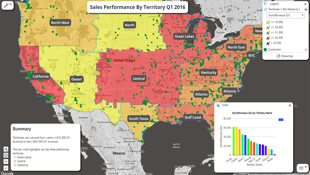
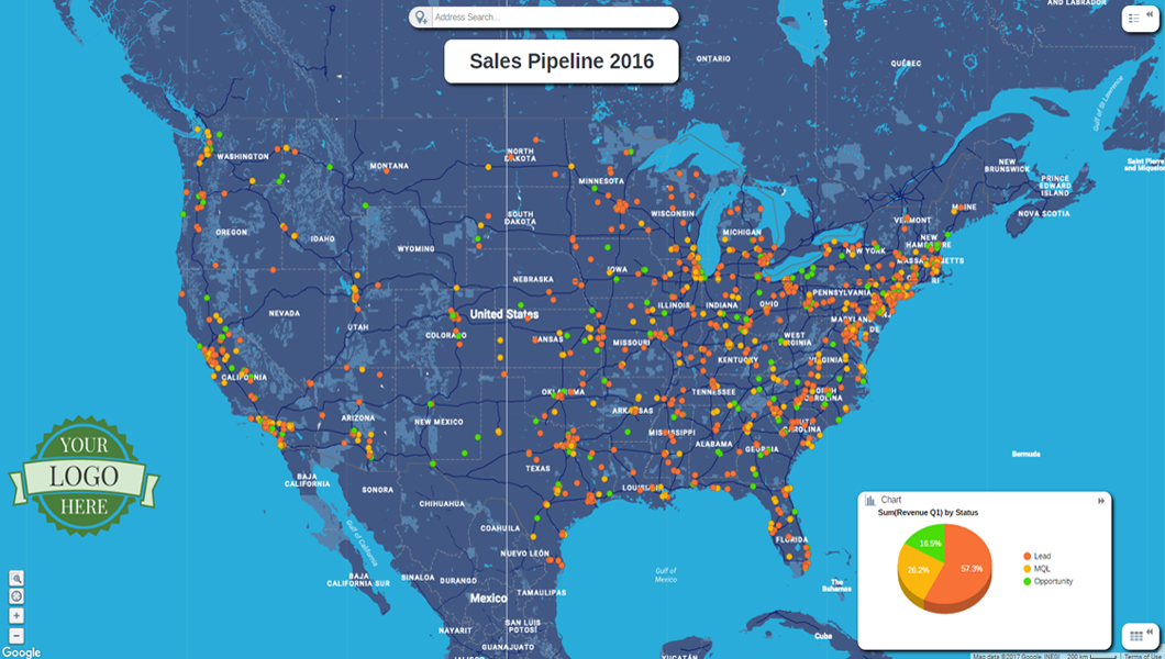
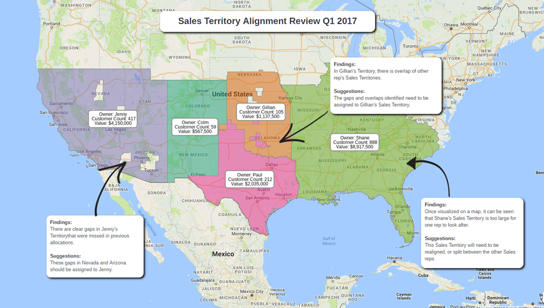
- Territory management
- High-res printouts
- Image export
- Data and map styling
- Geocoding
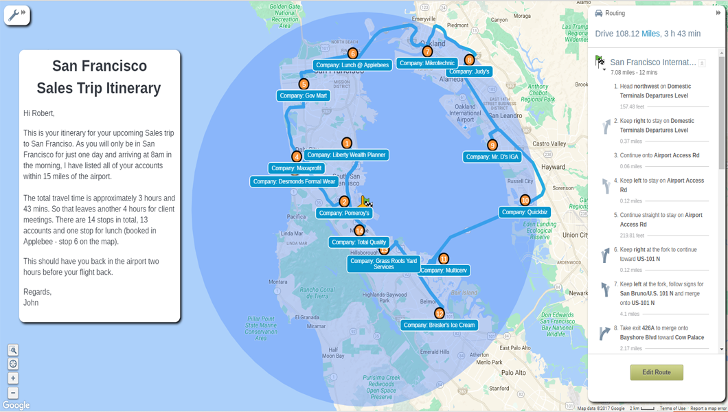
- Route planning
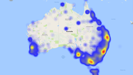
- Heat maps
- Trend and opportunity spotting
- Interoperability
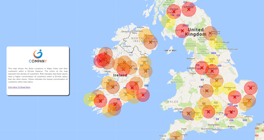
- Bubble and radius maps
- Spatial analysis
- Graphs and charts
- Collaboration and sharing
- Mobile data collection
- Data visualization
- Data loading and management
- Census data integration
Gallery
Videos
Page last modified
Share :
Popular eSpatial Alternatives
suggestVideo
Add New Comment